CDGRS Mapper Geographic Information System (GIS)
The Dirt and Gravel Road Program maintains a customized GIS interface called Mapper to keep track of over 16,000 potential and completed project sites throughout Pennsylvania. PA’s Conservation Districts utilize the CDGRS Mapper system for all aspects of project tracking for sites within their County. Districts also use Mapper as a paperless reporting system to report deliverables and financial details about completed road projects to the State.
- Live Project Mapper: Explore completed projects around the state with the live public data viewer and interactive mapper.
- Mapper Help: Comprehensive help guide to help you fully utilize the capabilities of Mapper.
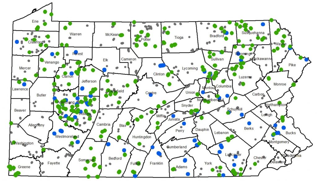
- 2015 Program Status Map (2.5 MB): Detailed oversized State Map (pdf) showing roads and projects completed by the Program through 2015. (see the map at the bottom of this page)
Conservation District Resources
Conservation Districts are required to attend a GIS training before they are provided with an ID and Login to allow them to access the GIS system to make changes for their county. Annual Summary Reports require Districts to update their GIS system with all completed and Contracted projects by January 15 each year. To log into the CDGRS Mapper system once you have attended a training, click the green “login” button at the top right of this page.
- Conservation District GIS Trainings: Additional training information, current training dates, and the course registration link.
- User/Login Help: Help with logging into the system and editing your information.
- Annual Summary Report Guide (0 KB): Step-by-step guide to completing the Annual Summary Report. Coming Soon
Project Status Map

The map above shows projects completed and under contract in 2015.


