
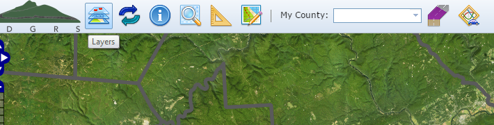
Layers
Several data layers can be viewed with Mapper. There are two types of layers included with Mapper, overlay and background. Overlay layers can be viewed at the same time or toggled to view individually. Background layers are used a basemap, where only one layer can be viewed at any one time. These individual layers for each type are listed below. On the Mapper, you can access the layer list by clicking the Layers button as shown above. Overlay layers are identified with a checkbox and background layers with a radio button. To turn on a layer, click on the corresponding checkbox or radio button. You can view each layer’s legend by clicking the corresponding Legend ( ![]() ) button.
) button.

Overlay Layers
These layers are identified with a checkbox. To turn on or off these layers, click on the corresponding checkbox. You can turn on and off multiple layers at the same time.
- Counties – County boundary layer. Source
- Municipalities – Municipality boundary layer. Source
- Dirt & Gravel Sites – Unpaved Funded Sites (
 )
) - Low Volume Sites – Paved Funded Sites (
 )
) - Roads – Commonwealth of Pennsylvania TeleAtlas layer. PA Tom Tom Tools information
- Paved (
 )
) - Unpaved (
 )
) - Low Volume (
 )
)
- Paved (
- Streams: Two layers were incorporated
Background Layers
These layers are identified with a radio button. To turn on or off these layers, click on the corresponding radio button. Unlike overlay layers, you can only view one background layer at a time. Additionally, a background layer must always be selected. Depending on your screen, you may have to scroll down in the Legend dialog to view all of the basemaps. Click on each layer for general and source information.
- USGS Topo Map
- ESRI Topo Map
- NAIP Color Imagery
- Google Streets
- Google Hybrid
- No Basemap – This layer simulates no background.
